Layanan Survei Geodesi
Kami menyediakan jasa survei geodesi untuk berbagai proyek.


3D Lasser Scanning
dan Lidar
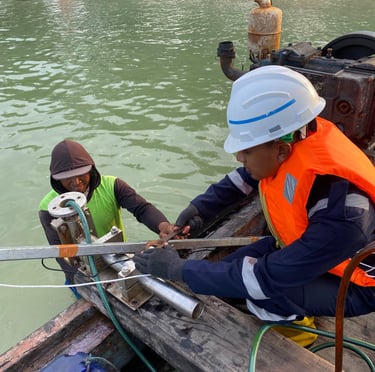
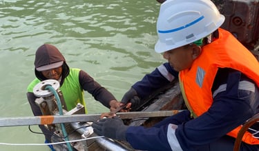
Survey Bathymetri
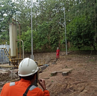
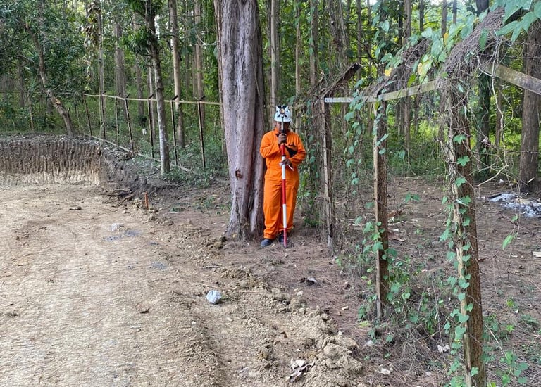
Staking Out dan Penentuan Titik Batas
Foto Udara
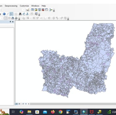
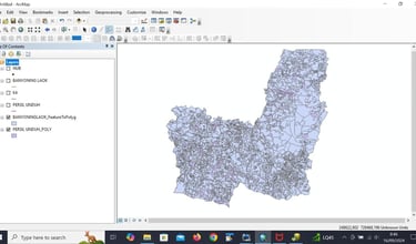
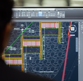
GIS (Geographic Information System)
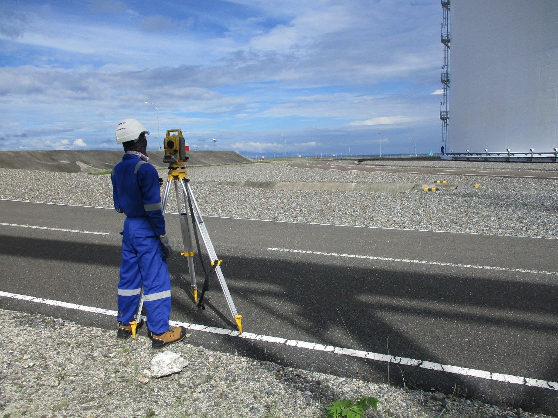
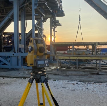
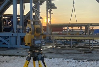
Survey Topografi dan Dimensional Control
Proyek Kami
Kami menyediakan layanan survei dan konsultasi engineering berkualitas.

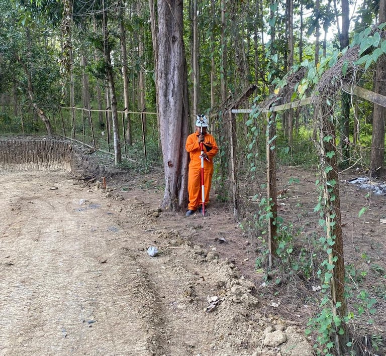
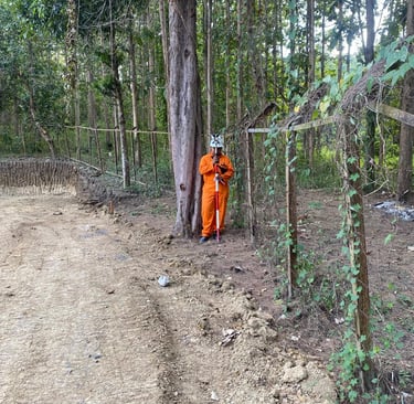
Survey Topografi dan Detil Situasi SP 1,2,6 Kawengan dan SP Ledok
Layanan survei geodesi untuk proyek konstruksi dan infrastruktur.


Survey Topografi dan Detil Situasi RS Muhammadiyah Lamongan
Layanan survei geodesi untuk proyek konstruksi dan infrastruktur.
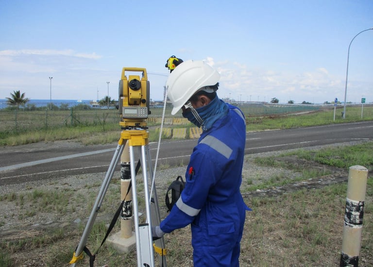
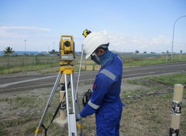


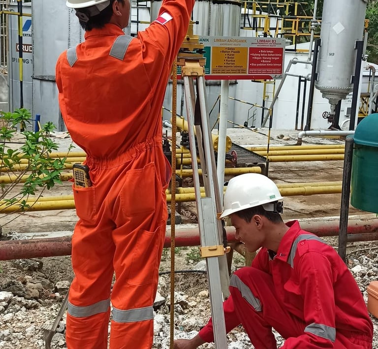
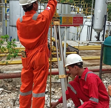
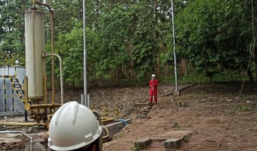
Pengukuran Dimensional Control Donggi Senoro LNG
Layanan survei geodesi untuk proyek konstruksi dan infrastruktur.
Foto Udara RS Muhammadiyah Lamongan
Konsultasi engineering untuk proyek pertambangan dan infrastruktur.

Galeri
Lihat proyek kami dalam survei dan teknologi geodesi terkini.